Walk to Midhurst

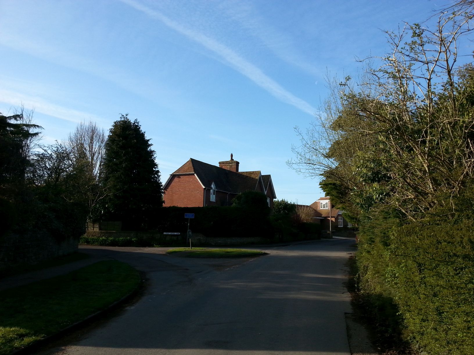
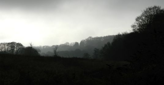
I wanted to walk somewhere different this week so decided to do a there and back walk from Charlton To Midhurst using the New Lipchis Way. This is a series of paths and bridleways that go from Liphook to West Wittering. When I left home it was raining slightly and as I drove over the hill at Goodwood the visibility was less than 100 yards.

001

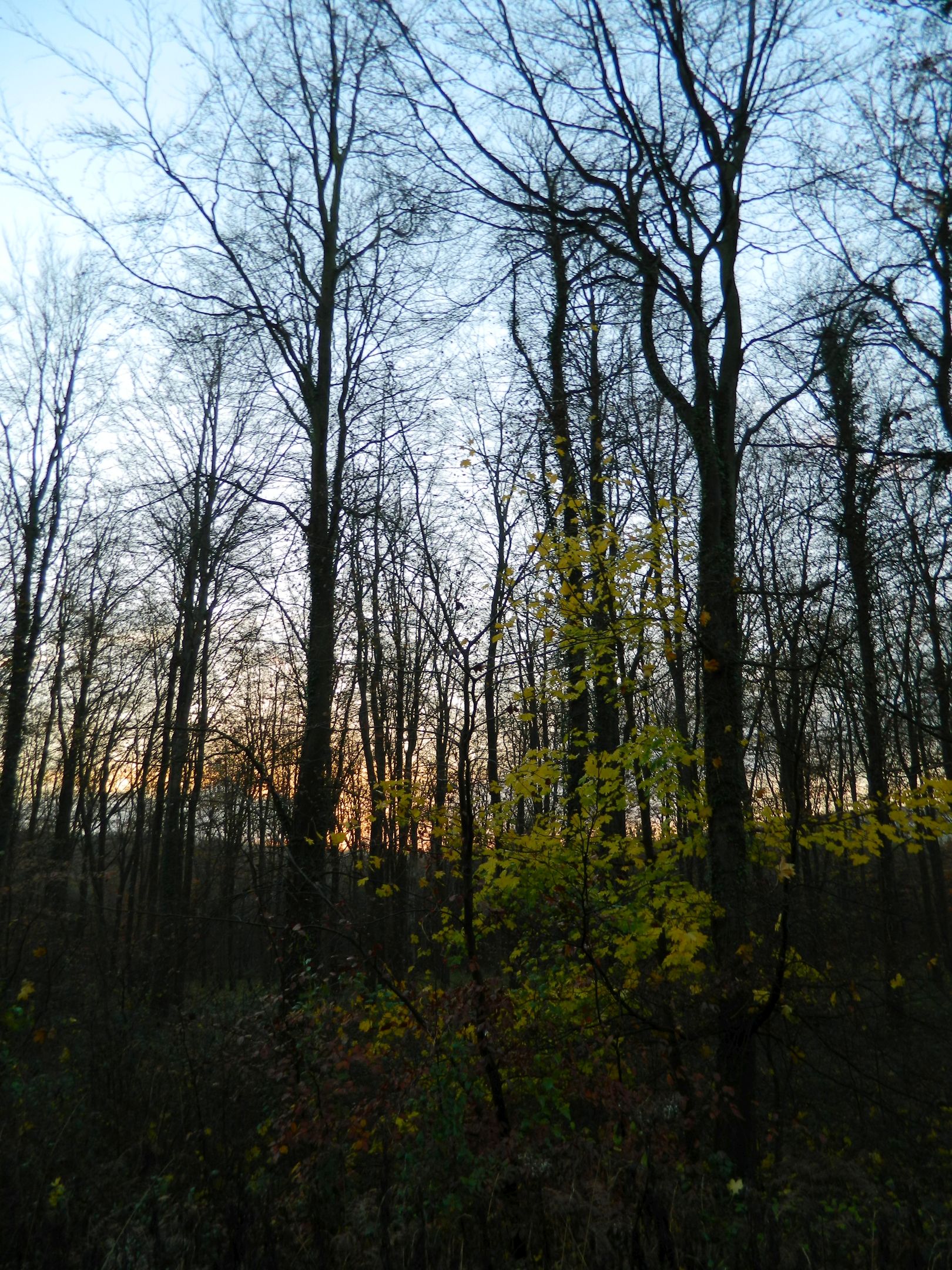
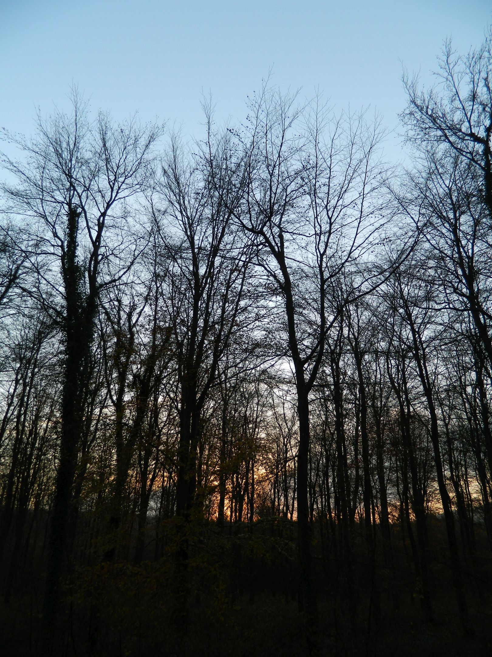
I started the walk by going over Levin Down and I could see the tops of the hills that I was heading for were hidden in low cloud. After leaving the Sussex Wildlife Trust reserve it was a steady one and a half mile walk up to the South Downs Way through mixed woodland. Before you get to the woods you pass through a place called Burntoak Gate, I’d love to know where the name came from.

003

004

005

When I was in the woods I stopped for a while and listened to the birds. I heard Chiffchaff, Dunnock, Blackbird, and Song Thrush. As I walked further on I heard my first Cuckoo of the year.

006

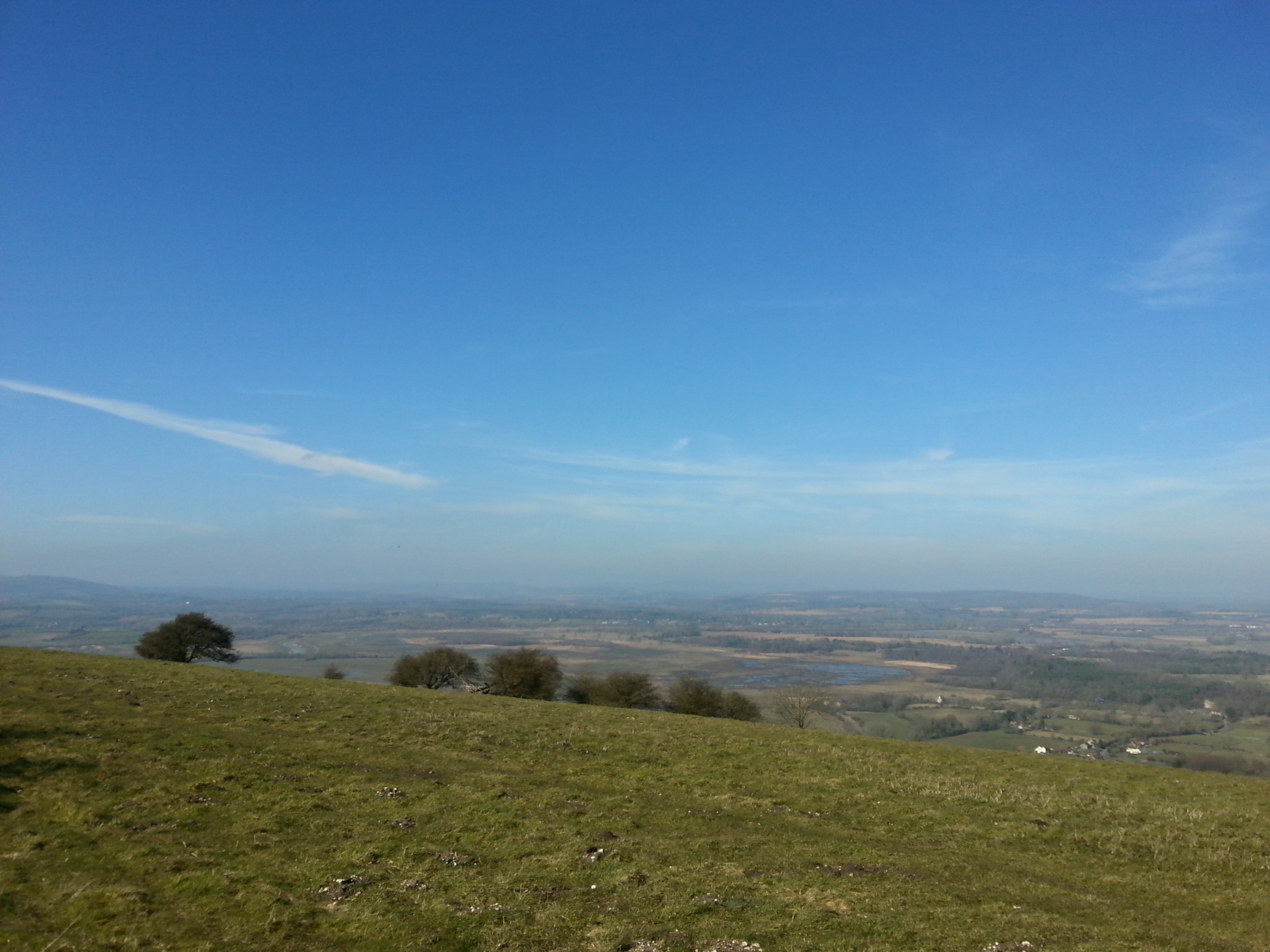
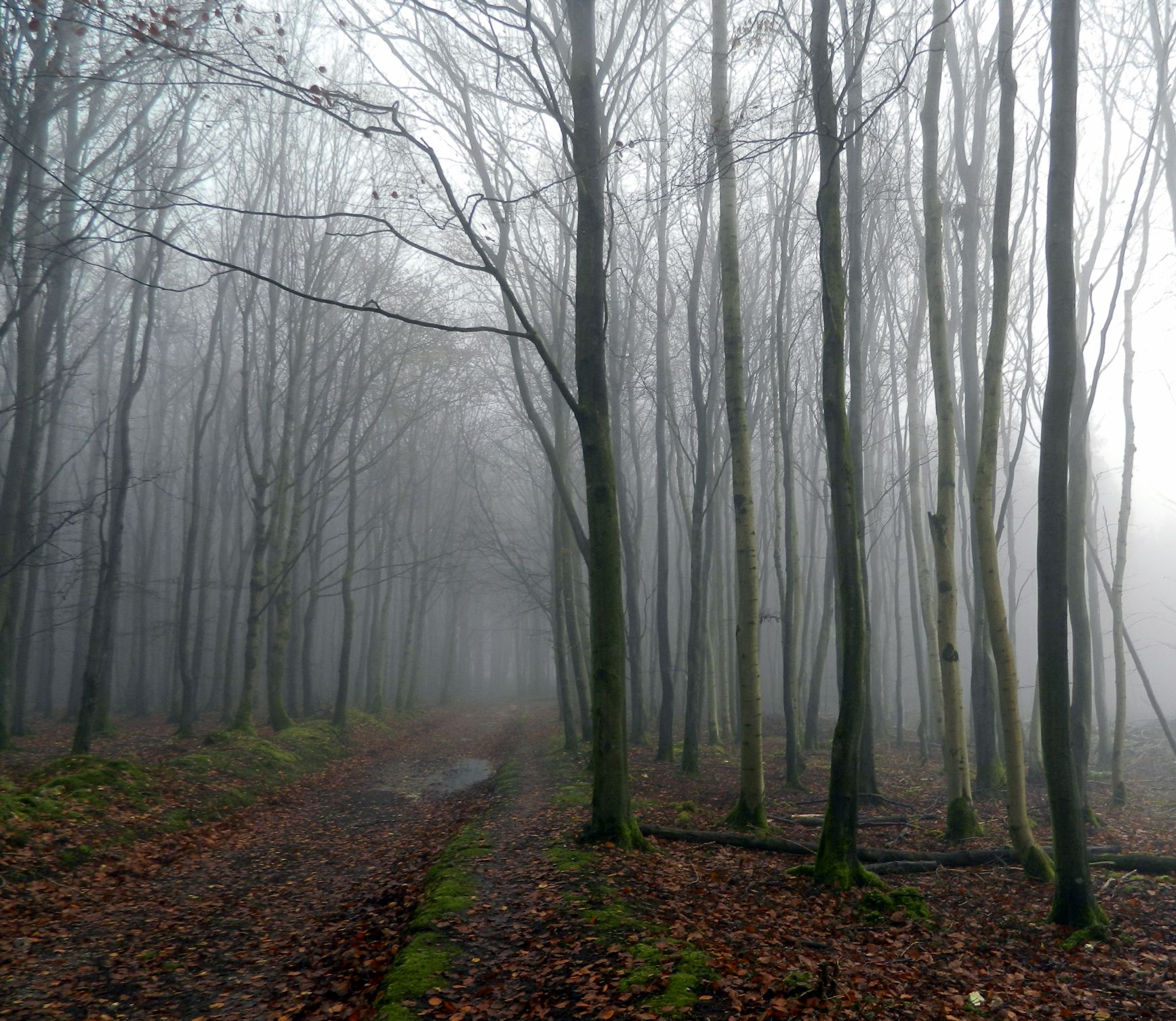
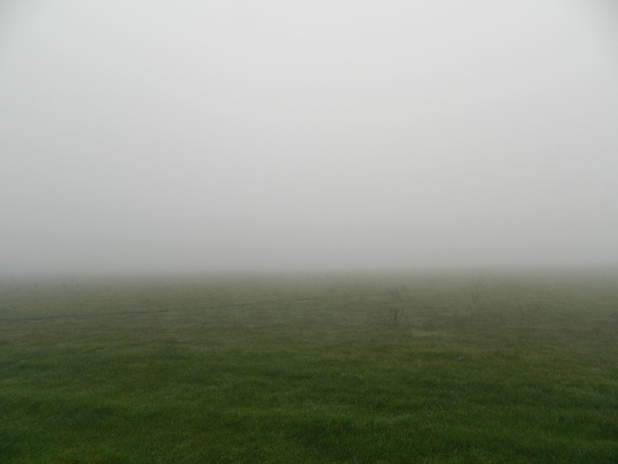
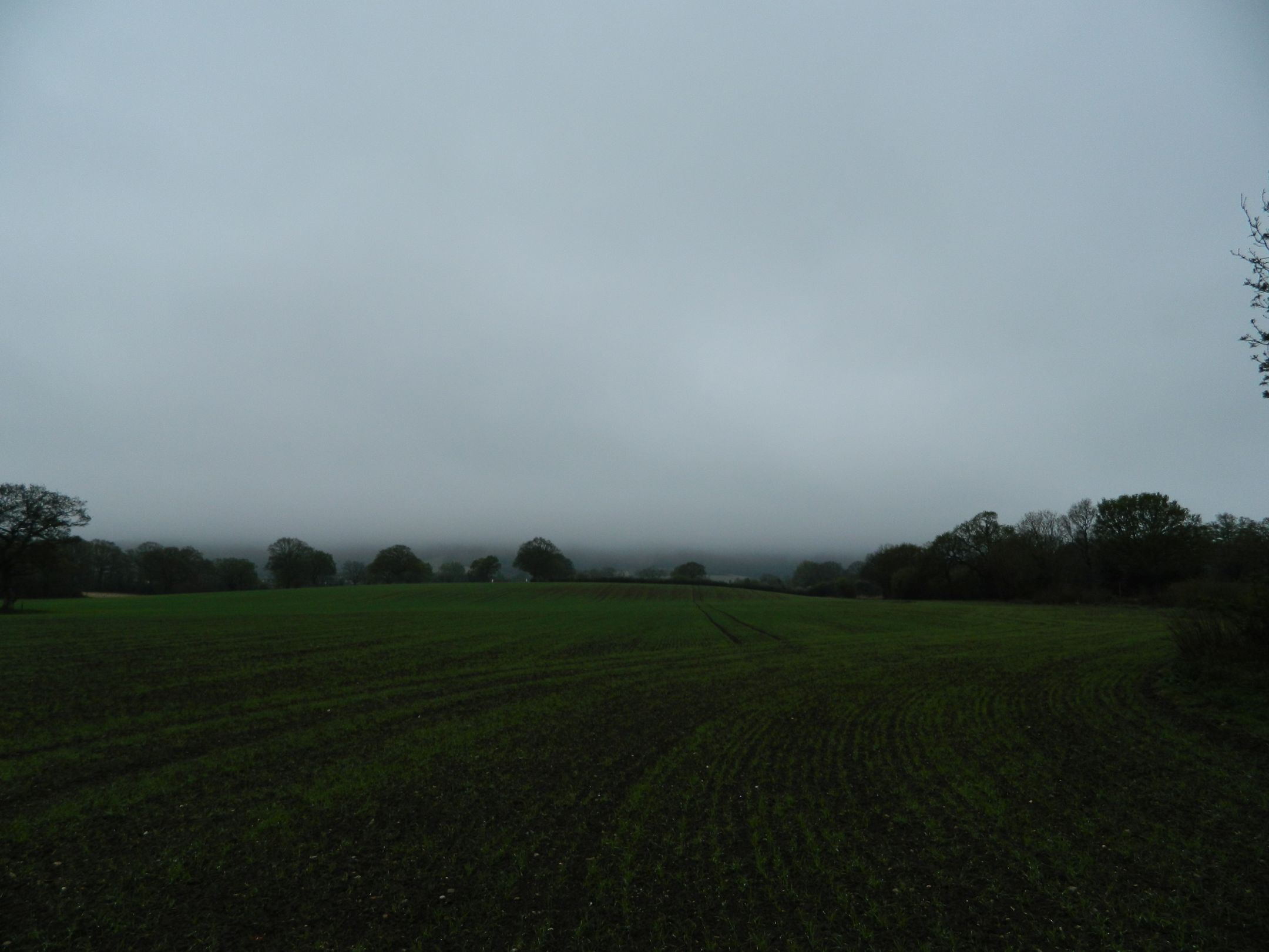
When I got to the South Downs Way the visibility wasn’t very good because of the low cloud. I had to walk across this field to get the path going down into Heyshott.

007

008

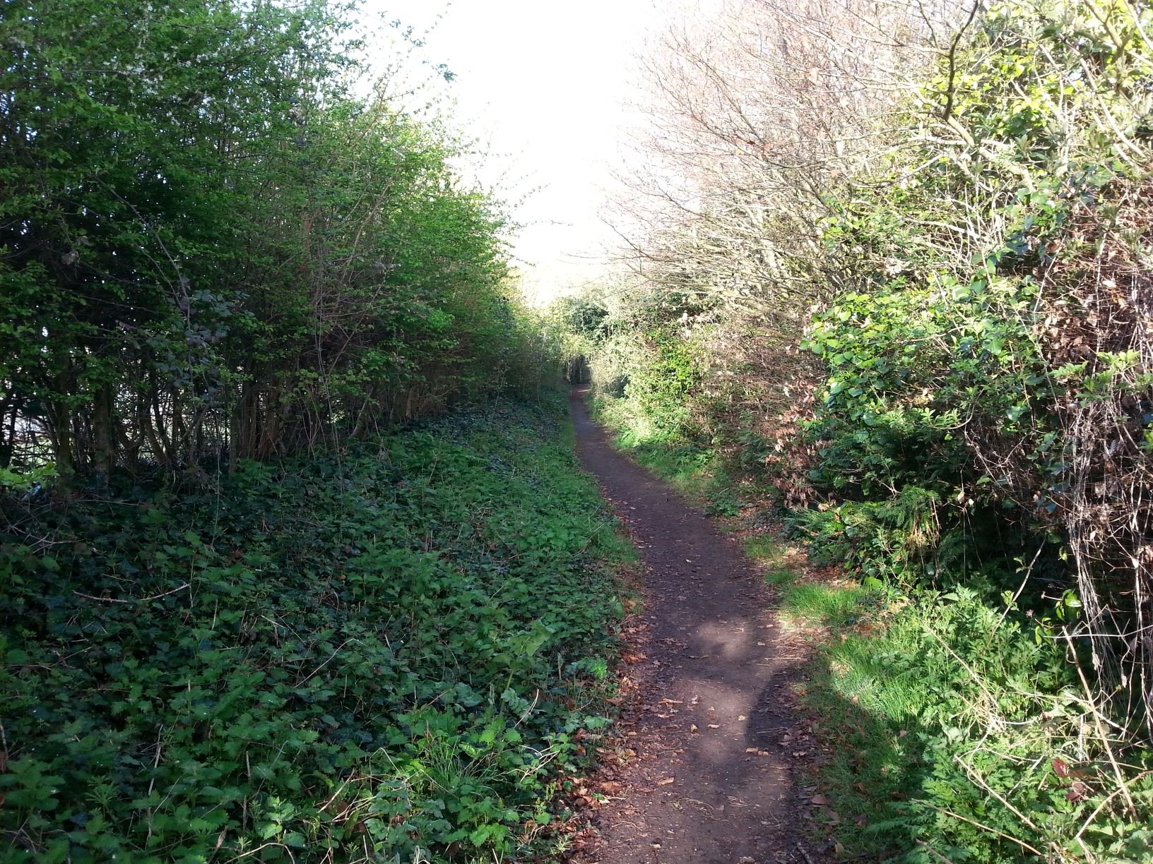
The first part of the path is wooded so I sat on the ground and had a bite to eat and noticed that the only birdsong was a Robin. I found that strange after all the birds I’d heard earlier. The path is very steep, an average of 13% as I learnt later from my map software. It was also very slippery on the wet chalk and was glad I had my walking pole to steady myself.

009

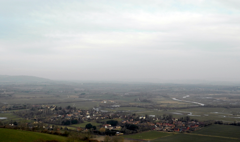
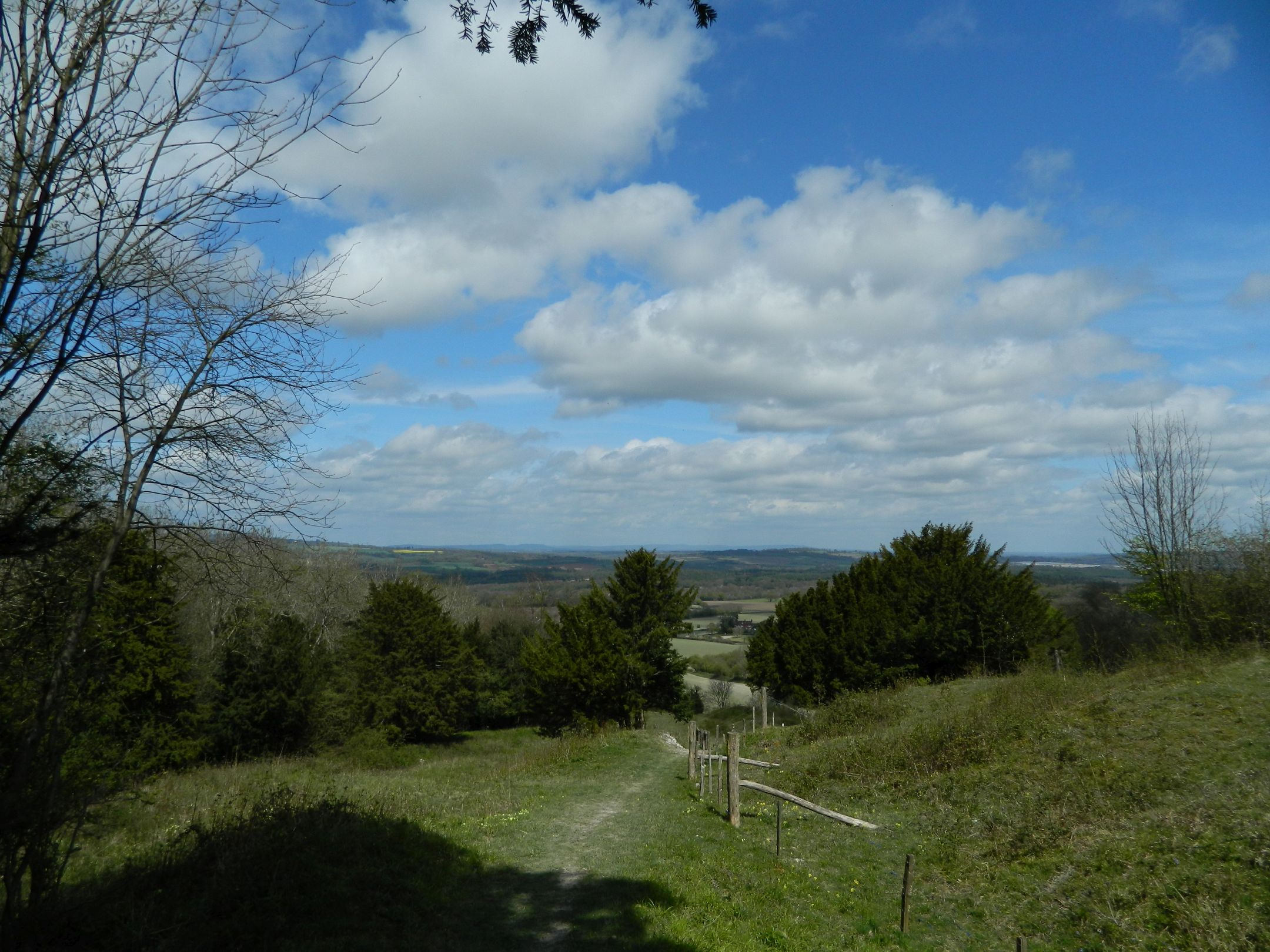
I turned around as I got near the bottom of the path and I could see just how low the cloud was.

DSCN5251

DSCN5254

DSCN5324

DSCN5323

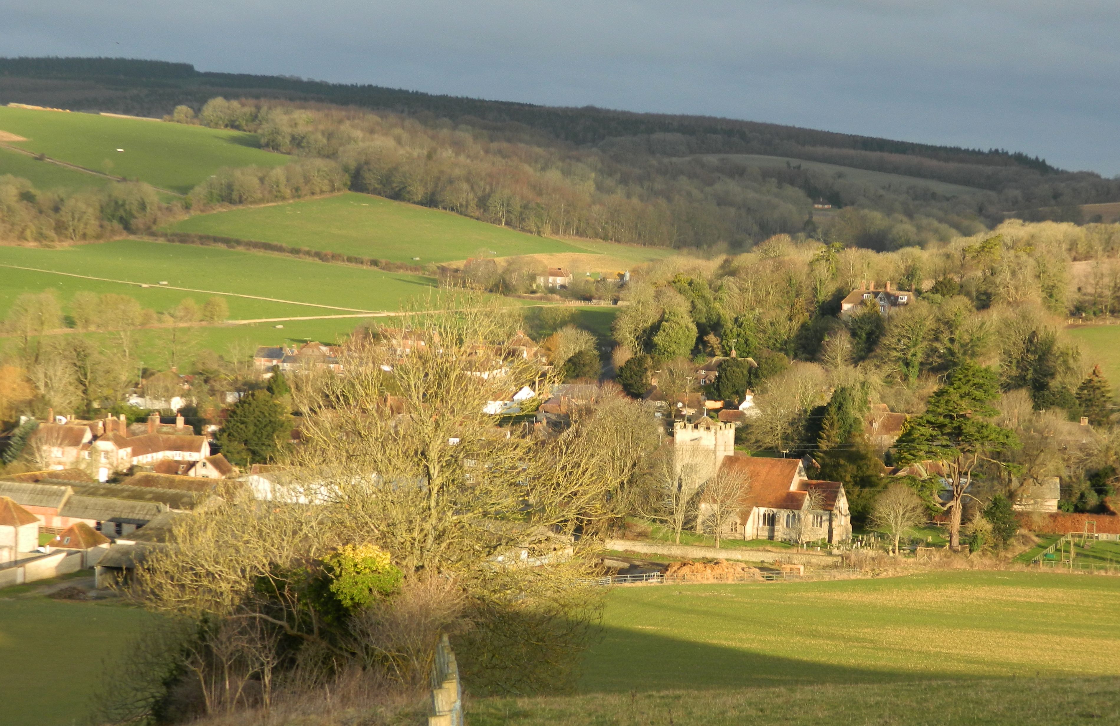
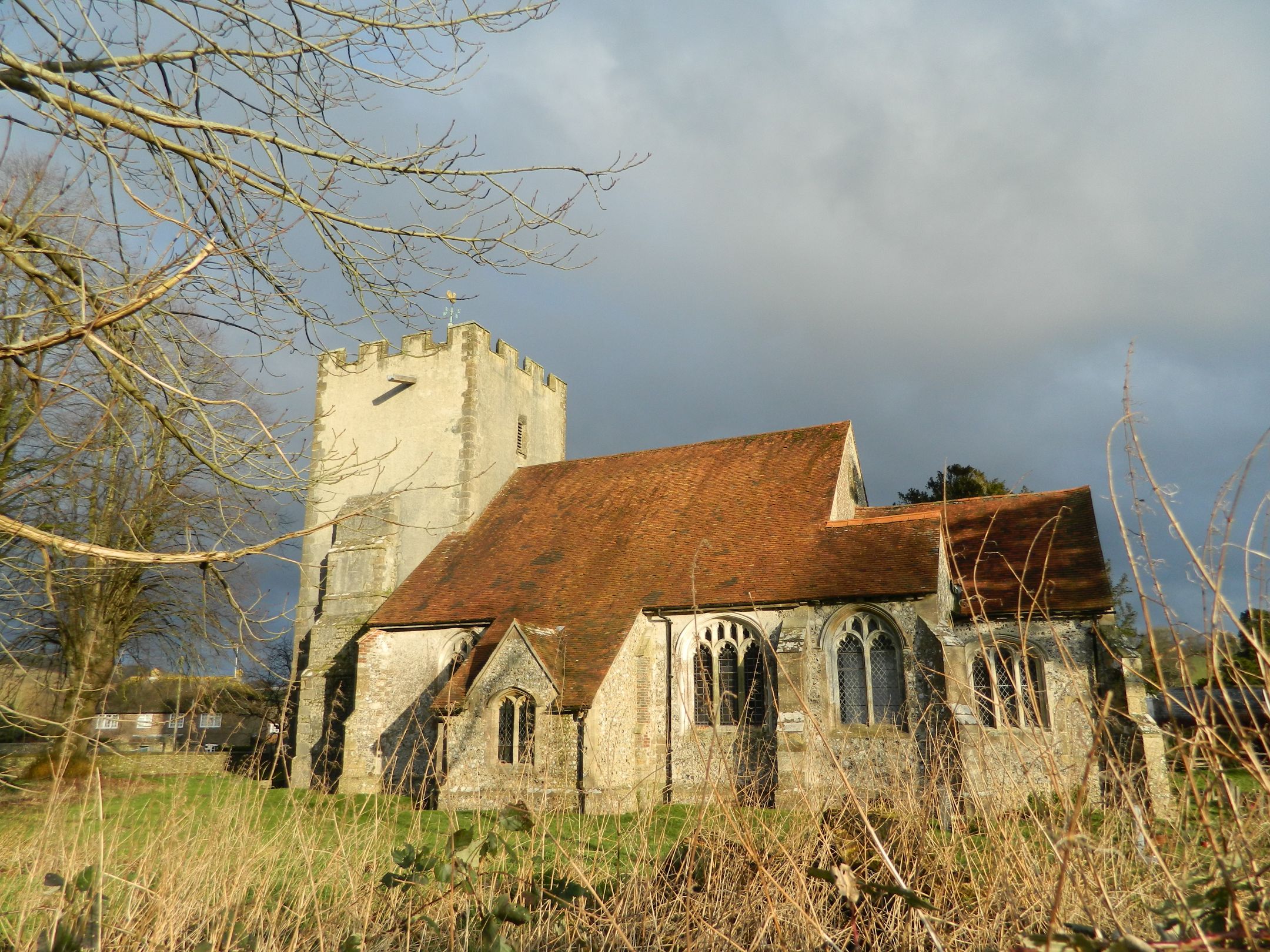
I walked across the field with the oak tree in the middle and noticed how big the sky was even though it was a big grey sky. In the distance I could see St James Church in Heyshott. I’ve visited it before when I did a sponsored ride for Sussex Historic Churches Trust. One way they raise money is via an event which is called Ride and Stride. You can be sponsored to ride a bike or horse or by walking. The money is then given as grants to churches for repairs or restoration.

DSCN5257

I left the church and walked through the village and found the footpath across the fields that would take me to the heathland which would make up the next part of the walk. As I crossed the field I turned round to see the hills in the distance.

DSCN5260

DSCN5262

I have never walked on heathland before and found it really nice to walk on compared to the slippery chalk and flint I’d been walking on all morning.

DSCN5270

DSCN5271

DSCN5272

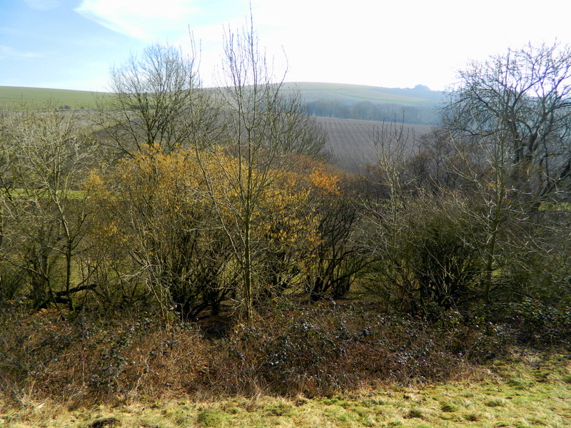
Some of the plants in here are different to the downland, there were mosses I’d never seen before, which the local slugs obviously liked. The trees were covered in mosses and lichens and they’re growth seemed to be stunted. I guess that’s down to the lack of nutrients in the sandy soil. The bracken was starting to unfurl. After reading my tweet @sophiEcoWild said  I should visit Iping and Stedham commons in the summer to see the wildlife.

DSCN5273

DSCN5274

As I walked through the woods I came across a bridge. I looked on my OS map and found it was a bridge over a disused railway. I found out later that it was a line that ran from Midhurst to Pulborough. I wonder if you can walk along it now? I saw two blackcaps on gorse bushes along the path after I’d crossed the bridge.

DSCN5282

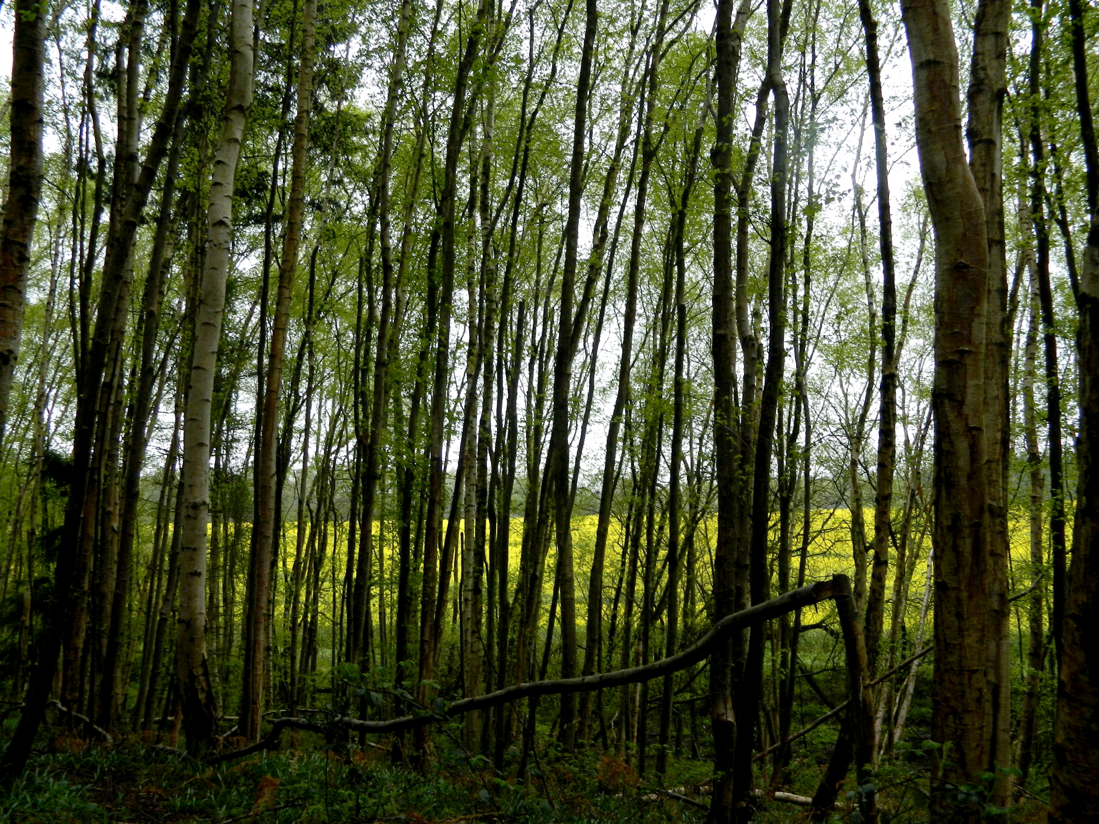
As I was getting to the end of the section through the woods I could see this field of oilseed rape through the trees, it seemed to glow as I stood in the darkness of the trees.

DSCN5297

DSCN5302

DSCN5312

I came out of the woods and walked along a lane for a few yards then the Lipchis Way goes through a farm and eventually alongside the River Rother with views over to ruins of Cowdrey House, a Tudor house partially destroyed by fire in 1793. I’d only ever seen it from the road before and was surprised how much of it remains.

I crossed the bridge and walked alongside the cricket and polo pitches and went to Cowdrey Farm Shop for a cup of coffee and to meet the aforementioned Sophie, who I follow on Twitter and her blogs.

DSCN5334

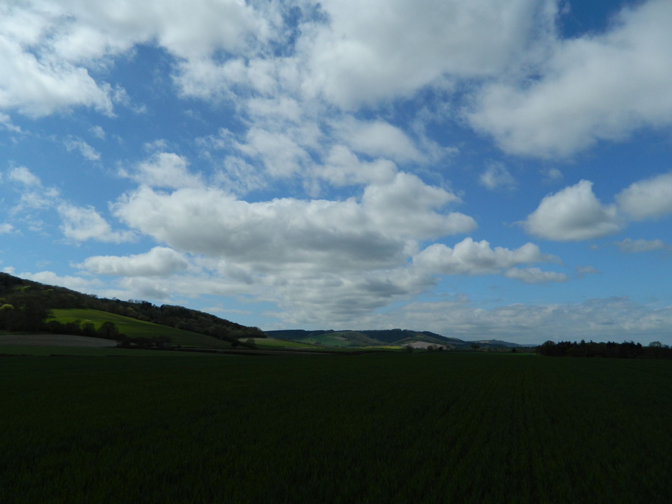
I walked back the same way as I came but the weather had improved a lot since early morning. I could see the Downs when I came out of the heath at Heyshott Green.

DSCN5339

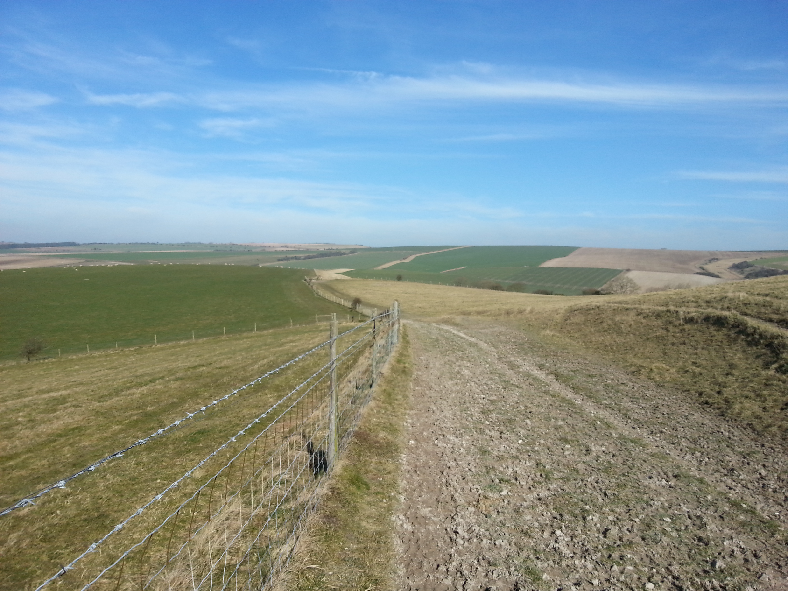
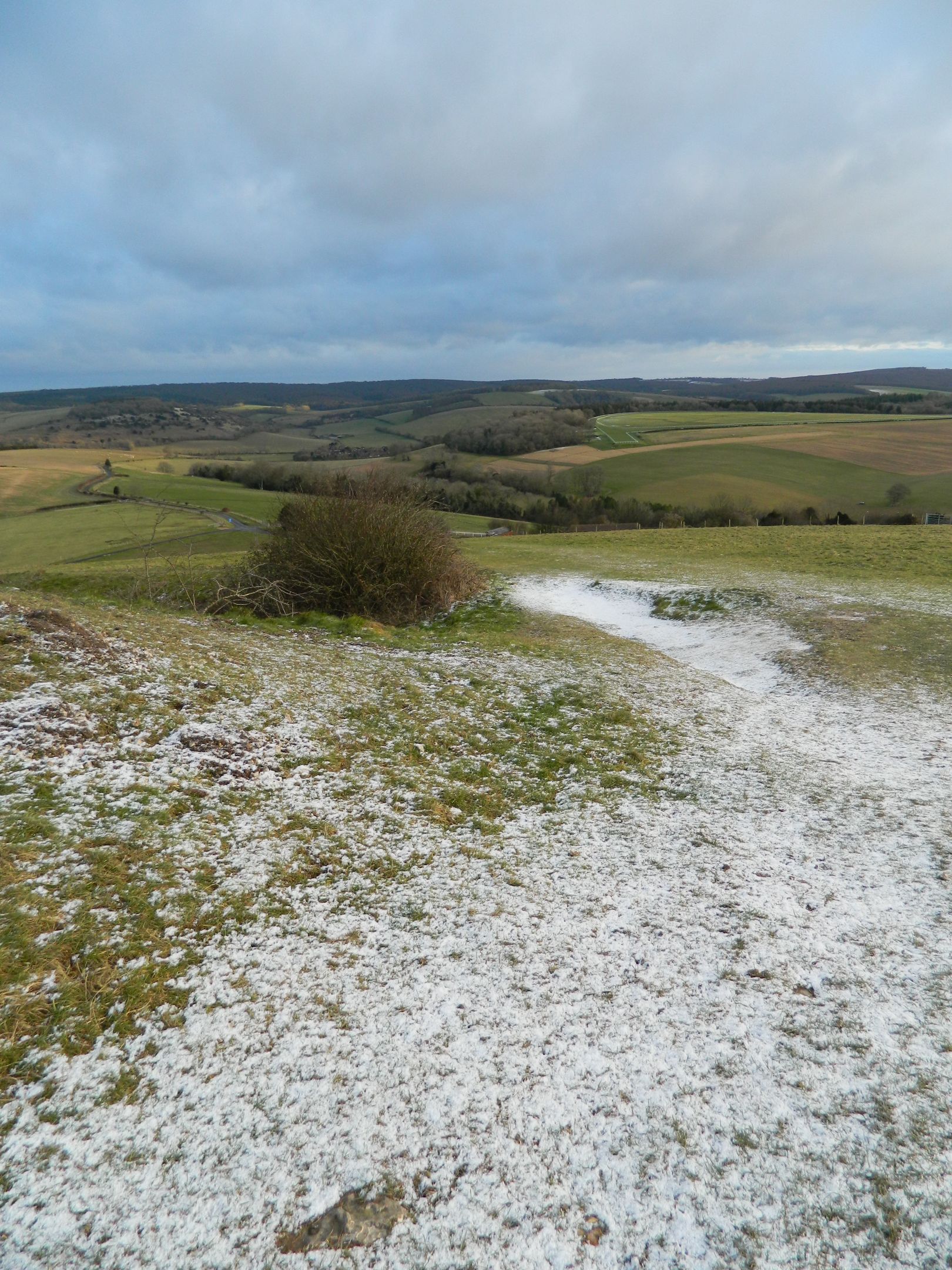
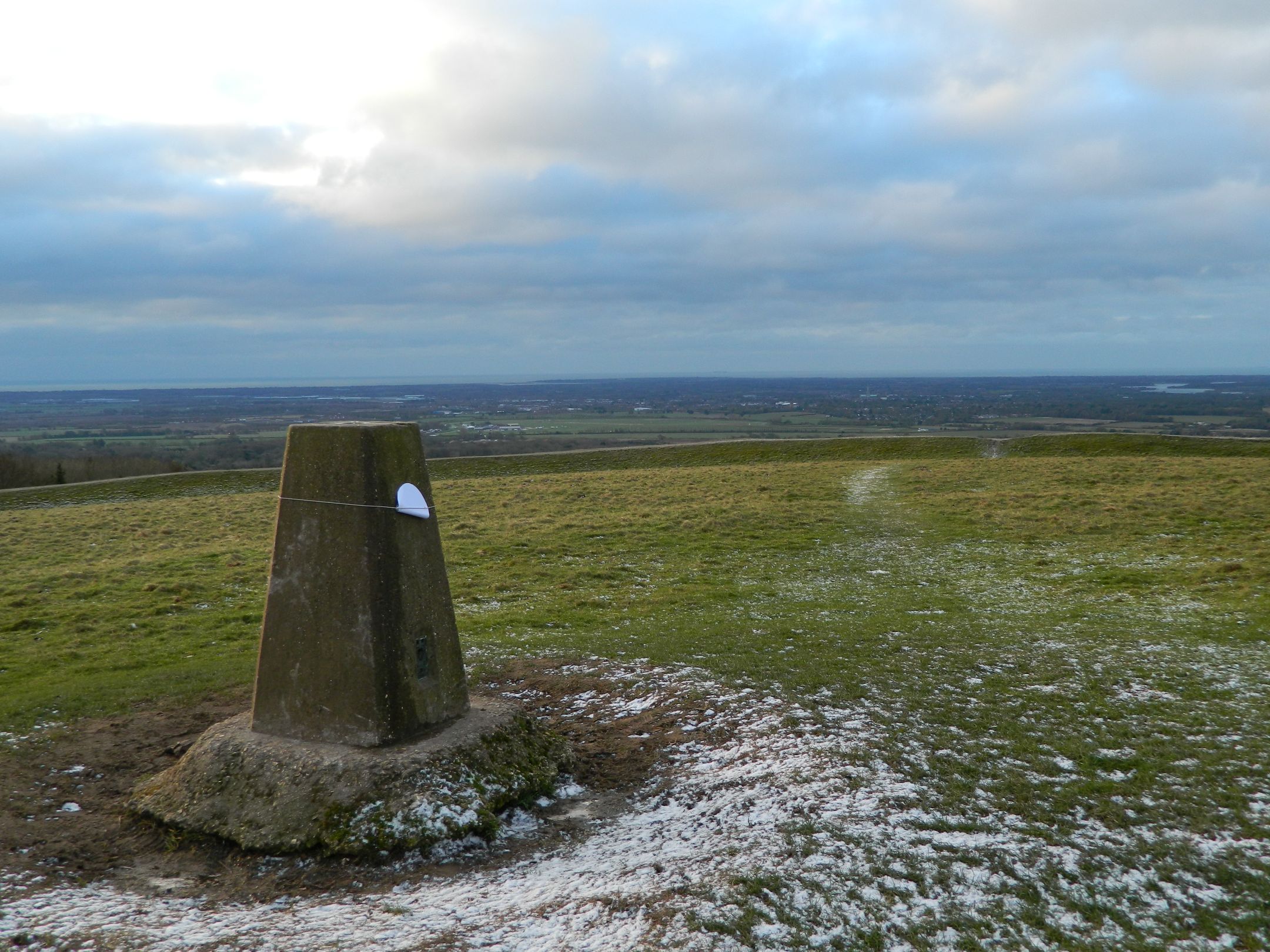
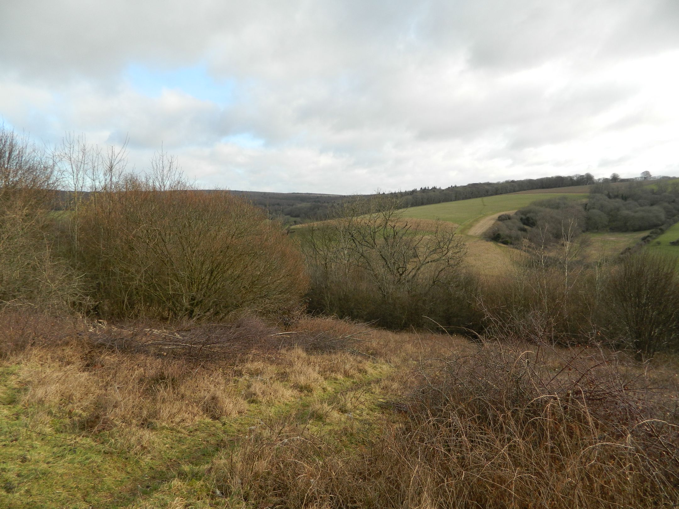
As I climbed back up to the South Downs Way I looked back and this time I could see for miles compared to hardly any visibility earlier. This is the steepest hill I have ever walked up so I was quite happy to stop and look at the views as I got higher.

DSCN5340

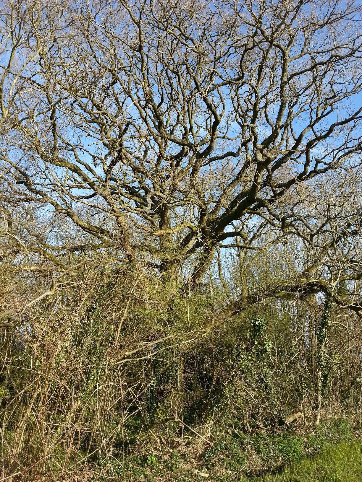
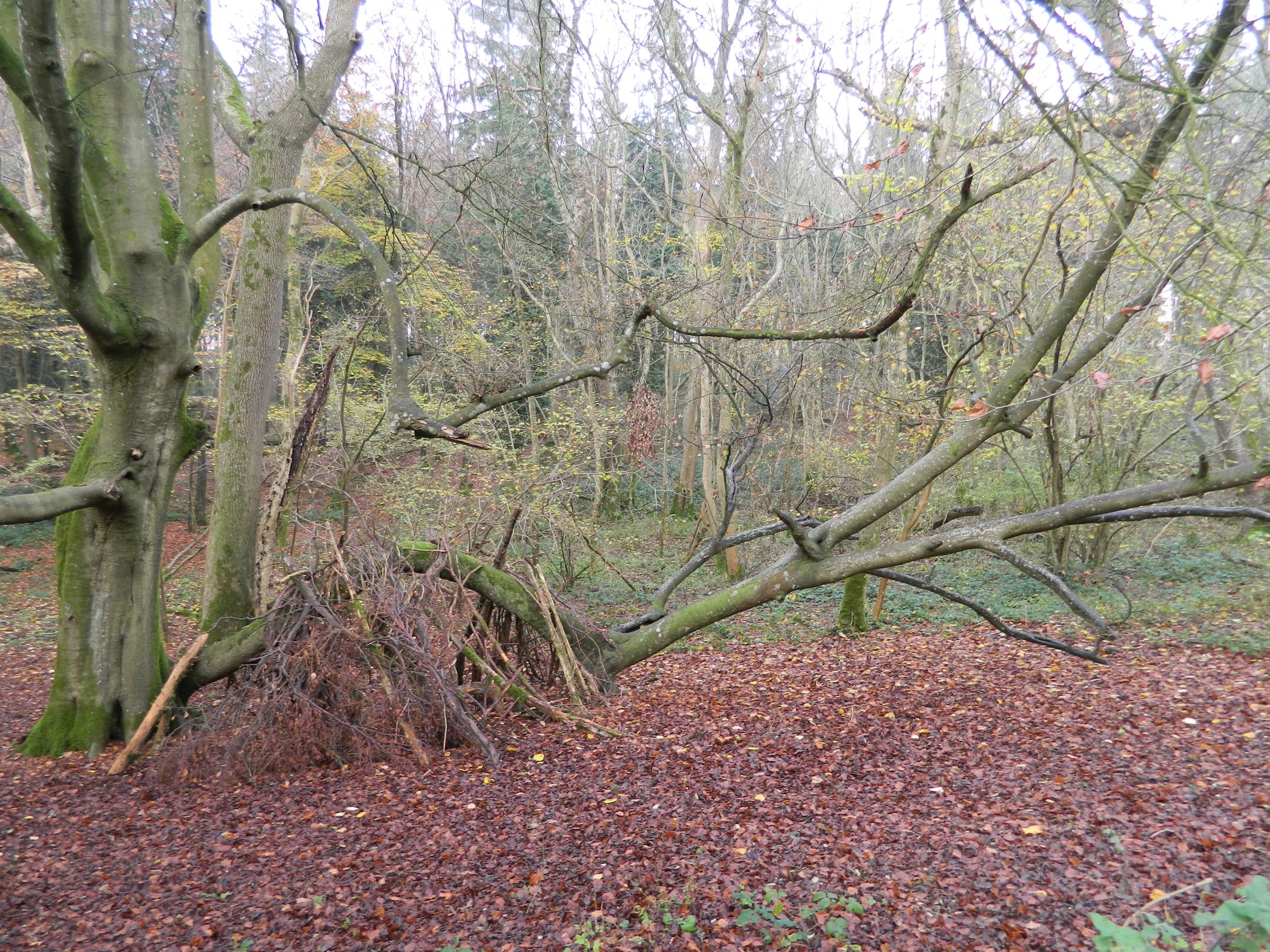
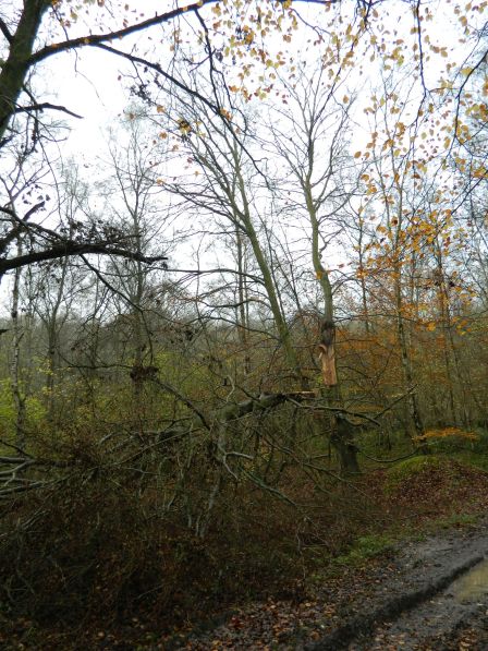
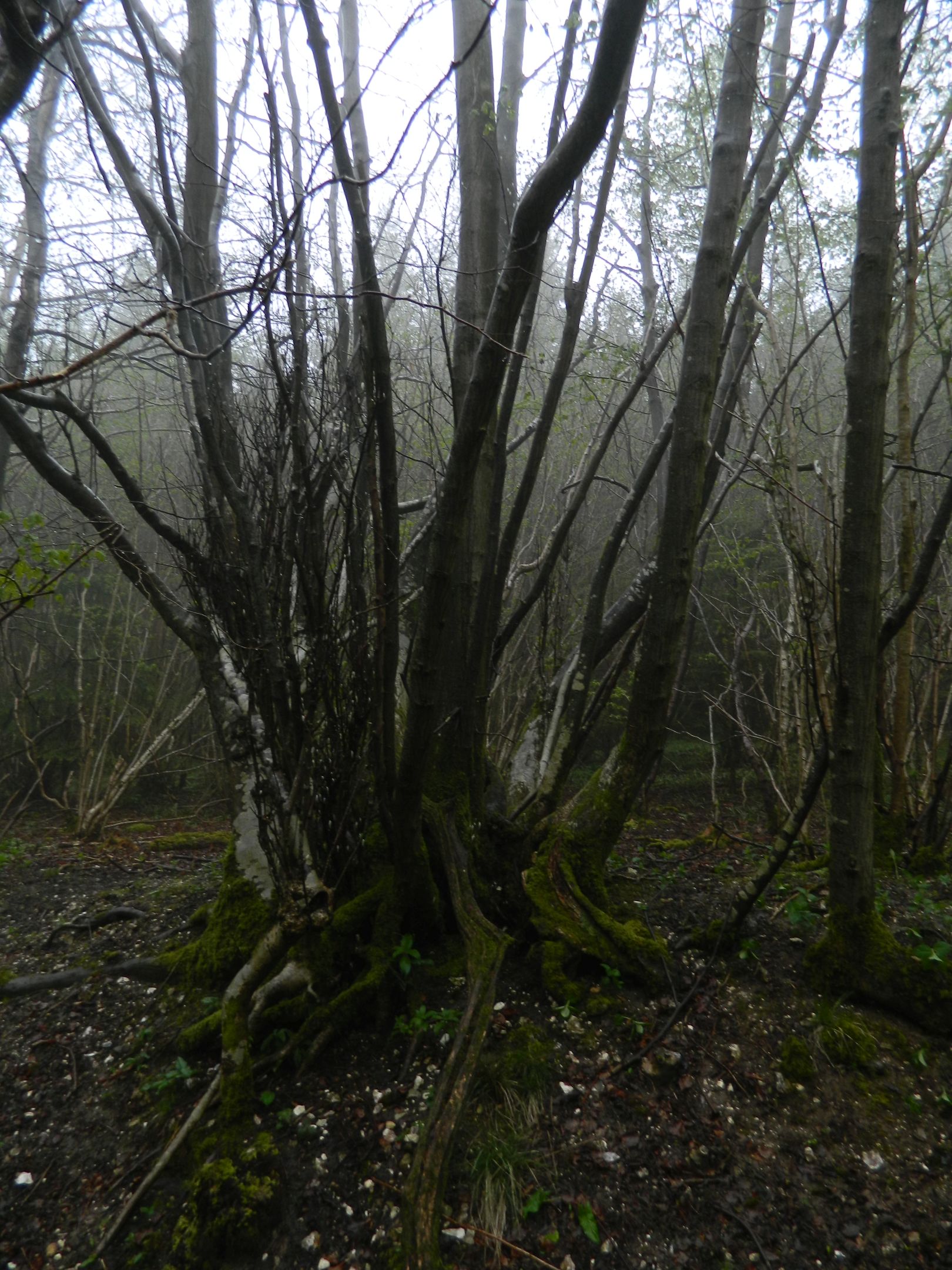
Part way up the hill was this tree with all its a lot of its roots showing. It looked like it could walk away like a spider.

DSCN5344

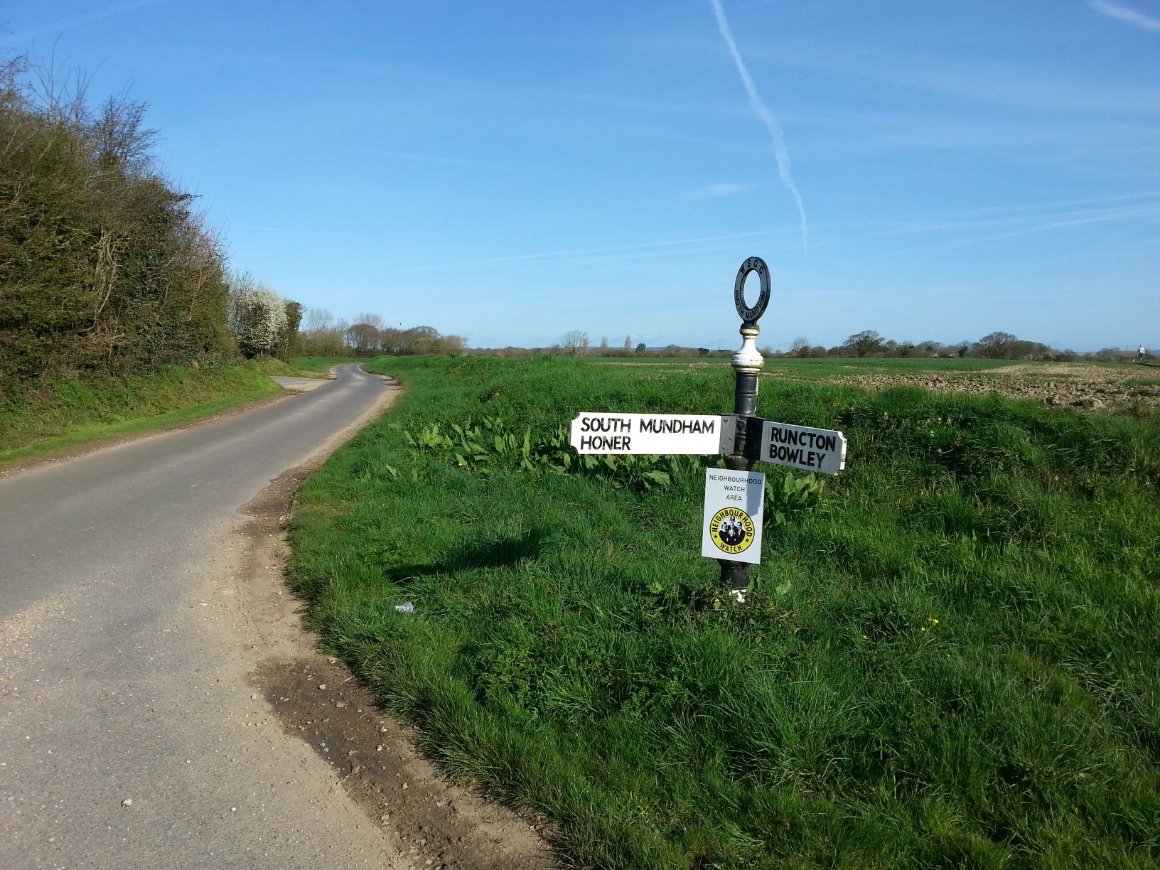
After going through Burntoak Gate again I took this photo of the 5 way signpost. I couldn’t see the writing on it in the gloom earlier on.

DSCN5345

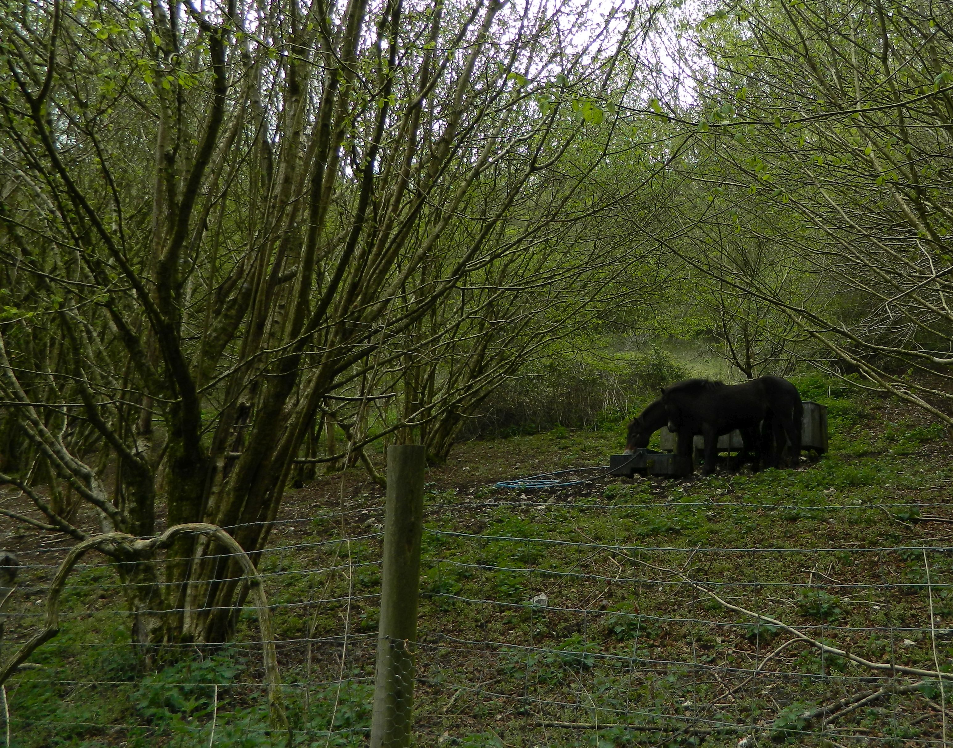
Anyone who watches BBC Countryfile on regularly will know about the three Exmoor ponies that Sussex Wildlife Trust acquired from Adam Henson. They are there to graze some of the tougher plants like blackthorn and hawthorn.

DSCN5348

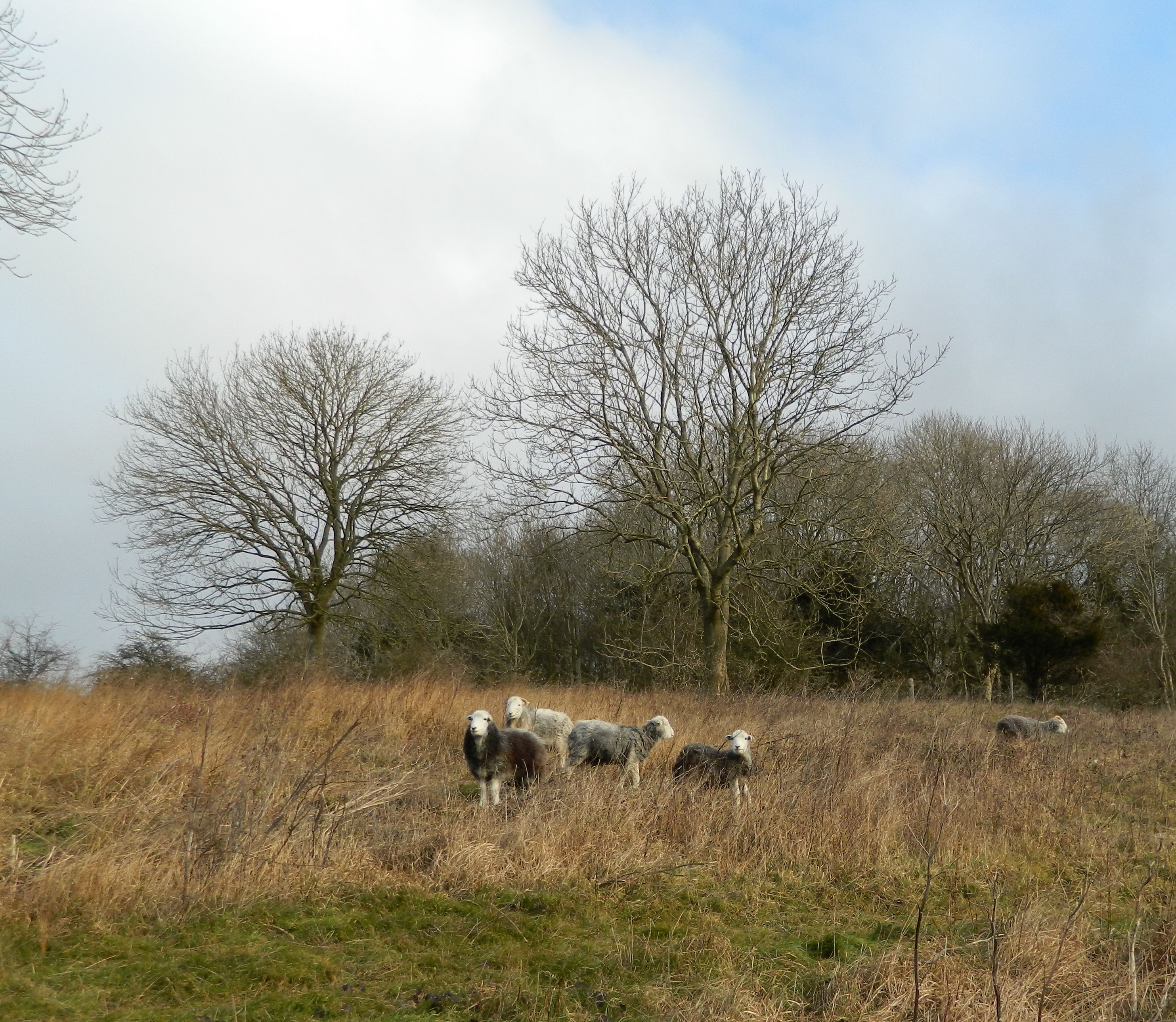
Now it was a matter of walking over Levin Down again, passing some herdwick sheep on the way, and back to the car.

I had walked 15.4 miles in eight hours. I know that’s probably slow for some hikers but I enjoyed a nice gentle stroll enjoying the sights and sounds.

Walk Around My Patch.

After a week of not feeling 100% because of a cold, I decided to just go for  a short walk around my patch. I live in North Mundham, a village about 3 miles south of Chichester. This walk took me to Hunston, Fisher, South Mundham and Runcton.

CameraZOOM-20150412081230369

CameraZOOM-20150412081400173

I walked through the village center and passed St Stephen’s, the 13th century Church. We’ve had 2 christenings and on of our daughter’s wedding there.

CameraZOOM-20150412081527919

CameraZOOM-20150412081725797

CameraZOOM-20150412081923619

Just beyond the church is the footpath that takes me out onto the farmland which will be the next 20 mins or so of my walk. As I walk I can see Chichester Cathedral and the Downs in the distance.

CameraZOOM-20150412082219504

CameraZOOM-20150412082244254

I now head South passing Hunston Copse, which has recently been partly fenced off and turned into a nature workshop for local schools. There are some lovely old oak trees in there. As I walked by there was a Great Spotted Woodpecker drumming and the first bluebells were showing.

CameraZOOM-20150412082457507

This part of the walk is across arable land, mostly growing fresh vegetables and herbs. As I walked along the path I could see Hunston to my left, and in the field to my right a couple of Roe Deer ran off. I was amazed at the amount of Yellowhammers I could hear singing. They seemed to be in every hedge I passed.

CameraZOOM-20150412083234927

At the end of this track the path splits into two. One goes to Hunston and the other to Fisher, which is the path I took. I could see St Leodegar’s, the church in Hunston, through the trees.

CameraZOOM-20150412084546736

CameraZOOM-20150412085005280

The path to Fisher took me through Chichester Golf Club where I like to play a round once a month with a good friend of mine. There are 2 courses here but I only play on the easy one. We also play the Par 3 course once a week in the summer.

CameraZOOM-20150412085710338

From the golf course I took this path across more arable land. Fisher consists of half a dozen houses including Fisher Farm who breed Hereford Cattle. They are called Fisher Poll Hereford. Poll means they are bred without horns.

CameraZOOM-20150412091514089

CameraZOOM-20150412091636792

CameraZOOM-20150412092644181

I walked along the lane which goes to Runcton. We still have a few of these old style road signs in the area. This old stable is still used sometimes.

CameraZOOM-20150412093108385

CameraZOOM-20150412093212885

I turned off of the lane, crossing a cattle grid, to use a permissive path where I crossed the Pagham Rife and saw some of the Fisher Poll Hereford’s I mentioned earlier. One of them had a calf. The rife runs through the gardens of some of the bigger houses in Runcton. Every summer some of the houses in Mundham and Runcton open their gardens to raise money for the village hall and playing field.

CameraZOOM-20150412093938101

CameraZOOM-20150412094046570

Pagham Rife is one of two rifes that run through the area, the other being Bremere Rife which runs through Hunston. Both of them flow into Pagham Harbour to the south. Pagham Rife is joined further South by the River Lavant flood relief channel which was built after the 1994 and 2000 floods in Chichester. If there is a lot of rainfall they can divert the river Lavant, north of Chichester, to this channel.

CameraZOOM-20150412094446702

I now walked around Saltham Lane to Runcton village center passing the pond, one of three that are on this walk.

CameraZOOM-20150412094802950

I now crossed the rife again at Runcton Mill, a Georgian, grade II listed building. I could see fish swimming as I watched the water pass under the bridge. The mill-pond is in the beautiful garden behind the mill. The mill is now divided into apartments.

CameraZOOM-20150412095159781

CameraZOOM-20150412095459045

CameraZOOM-20150412095954688

Now I take the footpath across the fields back to North Mundham, coming out in Post Office Lane. This was the Post Office and village shop until about 10 years ago. When the Post Office closed they tried to keep it running as a shop but sadly, it didn’t work. I hope you enjoyed a walk around my local patch. Below is a map of the walk.


map

Harrow and Blackpatch Hills.

On Saturday I went for a walk inspired by the post of Malcolm Oakley, The Fairies of Harrow Hill. The forecast was excellent with good visibility, which is just what you need to enjoy the views. I arrived at a chilly Amberley after a 20 minute drive from home. I’d parked in School Lane so headed for the crossroads with the Storrington Road and crossed into Mill Lane.

CameraZOOM-20150307070348729

As I walked, I looked along the scarp of the Downs, which gave me an idea of how high I had to climb to get onto the South Downs Way.

DSCN4907

After only a few minutes walking I turned to see the Arun Valley opening out behind me. I could see the river, along with the castle and church in Amberley. Mill lane is quite steep so got my heart rate up at the start of the walk. After a while I turned  off  the lane onto a flint and chalk path which was damp and slippery under foot. Once off this and onto the grass path it was much easier to walk.

DSCN4903

Up ahead I could hear cows making a lot of noise. They were all congregated in the corner of the field, presumably waiting for food.

DSCN4908

I hadn’t even reached the top of the hill but the views were already spectacular with Amberley Wild Brooks off to the north with the flood water in them.Soon it was time to leave the South Downs Way and head towards Harrow Hill and Blackpatch Hill. I turned off at Rackham Banks passing tumuli on the left.

DSCN4923

The next 10 minutes of the walk were spent in a tunnel of hedges with no views either way, which was a bit frustrating. Once I did get out in the open I could see towards Arundel with the castle sitting on the hillside and some of the bends in the Arun visible. Off in the distance I could see Littlehampton and the sea. It was whilst walking along here that I got what I realised was my first view of Harrow Hill in the distance.

DSCN4931

As I came up to the track that would take me through Lee Farm, 3 race horses came from the opposite direction and were galloping around a field.

DSCN4939

Harrow Hill was in front of me as I walked down the farm track and it was an imposing sight. Down here in the lee of the hills it was getting warm so took my coat and hat off.

DSCN4947

It wasn’t long before I’d gained a bit of height climbing Harrow Hill giving great views all around like this one looking back toward Lee Farm. As I’d walked through the farmyard I heard lambs in a shed. I peeked in and saw a new born lamb, still covered in birth fluid, trying to stand up.

CameraZOOM-20150307093620975

When I was around the other side of the hill I entered a copse which was very awkward to walk on because you’re walking along the slope. I came across a clearing and decided to stop for a bite to eat. It was really warm sitting here in the sun. As I sat there a Red Kite flew along the tree tops just in front of me. It was one of many magic moments on this walk.

DSCN4956

I could see Blackpatch Hill from where I sat so knew what was in store for me. I carried on through the copse then walked across a field which had been ploughed. It was horrible to walk on. I always thought if there is a footpath they had to leave it unploughed, or flatten it afterwards.

DSCN4968

CameraZOOM-20150307102043491

Now I had the long climb up Blackpatch Hill.It wasn’t made any easier by the strong wind that was blowing here.

DSCN4971

Eventually I reached the trig point at the top. The views around were fantastic. I could see over to Harrow Hill, even the spot where I stopped for my cake stop. I walked down the hill on a different path which gave me good views over to the East.

DSCN4966

I passed this ewe with her lamb on the way down and thought that this scene probably hasn’t changed for hundreds of years. I’m sure the people who mined the flint on Harrow Hill would have kept sheep up here.

DSCN4980

As I walked back to the South Downs Way a group of people were walking towards me. As they got closer I saw that it was a group of teenagers. They were singing “Bingo Was His Name O” I stopped to talk to them and found out they were on a 36 km walk for The Duke of Edinburgh Award. We wished each other good walks and I went on my way. Behind I could see Harrow (on the right) and Blackpatch Hills.

CameraZOOM-20150307111844766

When I got up onto the SDW the views were incredible and the scarp is very spectacular.I could see down to Storrington and over to Pulborough.

CameraZOOM-20150307122549560

Eventually I was back at Amberley Mount with it’s views across the Wildbrooks. This had been the longest hilly walk I’d ever done, 12.5 miles, and it was all new territory for me. There is lots more to explore in the area so I’ll be back again.Screenshot 2015-03-17 16.41.23

Walk to Levin Down

This morning I went for a walk to the Sussex Wildlife Trusts reserve at Levin Down near Singleton. I parked at the Triangle near the Trundle enclosure. As soon as I got out of the car I was pleased that I’d bought my big coat as the wind was bitter. Before I walked down into Singleton I went up St Roche’s hill the see the great 360° views. As usual I wasn’t disappointed because the air was so clear I could see for miles. The wind was so strong as I walked back down, it blew me off the path a couple of times.

DSCN4819

Still a bit of snow from last night

DSCN4813

Trig point at the top. You can see Dell Quay to the right of the photo

DSCN4808

Sun breaking through over the sea.

DSCN4811-001

Sun shining on the hill across the valley.

DSCN4809

Glorious Goodwood.

I headed down the hill toward Singleton. The first couple of hundred yards are on the lane before you take the footpath across the fields. You get some great views of Levin Down and Charlton as you walk down the lane.

DSCN4822

Looking downs Knight’s Hill

DSCN4823

Levin Down on the left

It was the first time I’ve used this footpath. It was nice to see the views from different angles. Looking across to the road that goes to Singleton I didn’t realise how steep it is even though I’ve cycled up it many times.

Looking across to Town Lane

Looking across to Town Lane

As I was walking down there was a huge flock of very noisy and restless Corvids on the field and flying.

Rooks, crows and jackdaws

Rooks, crows and jackdaws

DSCN4826

Corvids on the field and in the air.

As I got down the hill the church of The Blessed Virgin Mary at Singleton came into view. Originally a Saxon church with 15th century and Victorian additions. At the bottom of the hill you go through a farmyard where some curious cows watched me walk by. There is a small gate which gets you into the churchyard. I always stop in a churchyard for a break whether I’m walking or cycling.

DSCN4838

Singleton

Is he mad, he should come into our warm shed.

Is he mad, he should come into our warm shed.

Church of The Blessed Virgin Mary

Church of The Blessed Virgin Mary

After walking along the road for a little while I got to the footpath that goes up the hill to Levin Down. It was quite steep to start with then the path goes across the hill which makes it a little easier. It’s worth the climb when you turn around and see the views opening up behind you.

DSCN4850

Singleton.

You go through 2 gates to get in the reserve, between them is an information board. As soon as I got in there were a few Herdwick sheep grazing.

DSCN4862

Herdwick sheep.

I found a bench with a lovely view and decided to sit down for 10 minutes. To the left I could see towards Charlton and along the valley, to the right was Singleton. I could see some of the buildings in the Weald and Downland Open Air Museum. The museum is well worth a day out. My wife and I have been Friends of the museum for 10 years and enjoy many days out there.

DSCN4863

Looking toward Charlton. You can just make out the Lavant Course running through the field.

DSCN4867

Looking toward Singleton.

I made my around the eastern edge of the reserve then climbed up through the steep wooded hillside to get to the clearing at the top of the down. Again it’s worth the climb for the views across the Downs.

DSCN4873

Steep climb through the trees.

DSCN4883

Looking East from the top of the hill.

DSCN4874

Looking North.

I made my way back to Singleton and back up the hill to my car. I crossed the Lavant Course, which is in full flow, in Singleton.

DSCN4888

Lavant Course

DSCN4893

Looking back toward Singleton on my way to the car.

Screenshot 2015-02-01 15.56.22

Map of the walk 5.5 miles


Walk from Eartham Wood.

A couple of weeks ago, having read a post on the blog of Keith Foskett, I decided to go for a walk along Stane Street and The South Downs way. Whilst up there I wanted to see what was happening at the Rise of Northwood near Slindon.
I parked at Eartham Woods car park at first light on Sunday morning. I walked along Stane Street until I got to 6 Ways where I carried on up through the woods. DSCN4689


As I was walking I was amazed at the hundreds of wood pigeons. There were so many in some flocks you could hear them like wind through the trees. As I climbed higher through the woods the sun was beginning to show through the trees giving everything a golden glow.


DSCN4686


DSCN4685


I have never walked up this track before but have ridden my mountain bike down, so knew it would be a long drag. While walking along looking for any interesting wildlife I noticed that it was getting a bit misty between the trees.


DSCN4695
By the time I’d got to the top, to where the track turns right and out of the woods, the visibility was about 50 metres.
As I walked along the bridleway in the fog another huge flock of at least 300 pigeons flew over. I now joined the South Downs Way over Glatting Beacon with its non existing views.

DSCN4699


I have never walked in fog like that but can now see how easy it would be to get lost in open country.
I left the South Downs Way after a short while to join Stane Street/Monarch’s Way. This was part of the Roman Road from Chichester to London. It was fantastic to think that about 2000 years ago legions of soldiers would be marching along here, possibly going to the Roman Palace at Fishbourne.


DSCN4700


DSCN4702


DSCN4705


I don’t know if it was because I was losing altitude or because the sun was burning it off but the fog was lifting as I walked along the top of the mound that would having carried the Roman Road. You have to be a bit careful walking along here because of the rabbit burrows dotted about.
It was time to leave Stane Street and go down to Slindon and the site of Rise of Northwood. I went through Gumber Farm where there is a camping barn and camping field for people hiking in these parts. I was told later that there was a dummy airfield here during WW2 which explained the “gun emplacement” I thought I’d seen.


DSCN4708


From here I made my way to North Wood to see the work going on. As I walked through the woods to North Wood I passed this tree where one branch has grown toward the ground, and then grown upward to form an arch.


DSCN4717


I could hear hammering as I walked through the woods and wondered what it was. I finally saw some flags over a brow so made my way over to them via a very muddy track.


DSCN4721


As I got closer I could see what the hammering was. It’s a sculpture by Jon Edgar being carved on site. I was standing watching when he asked if I’d like to have a go. Well I couldn’t turn down the opportunity. It’s certainly a lot harder than it looks. My arm was aching after 5 minutes or so.


DSCN4719 I can’t wait to go back and see how it’s come on and eventually see the finished sculpture. What will be even better is knowing I had a hand in making it.

I made my way back to the car along a new footpath to get back to Eartham Wood. The tracks though this part of the wood were very muddy. I was passed by 3 mountain bikers one of whom said he was taking it slow as he’d just fallen off in the slippery conditions.


DSCN4724


DSCN4723